|
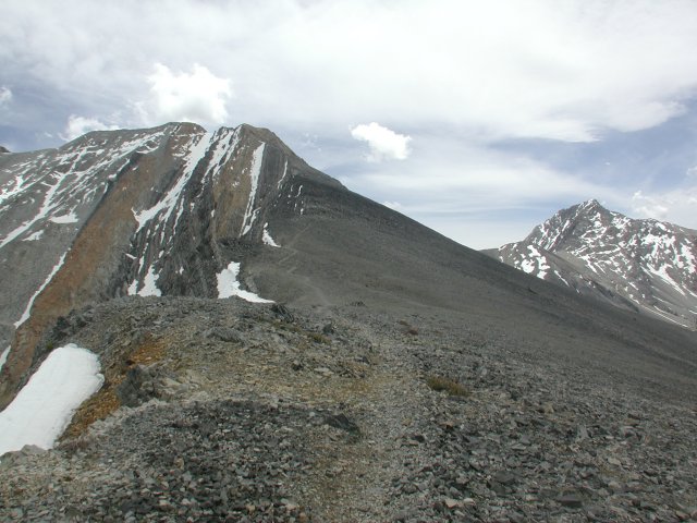
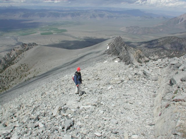
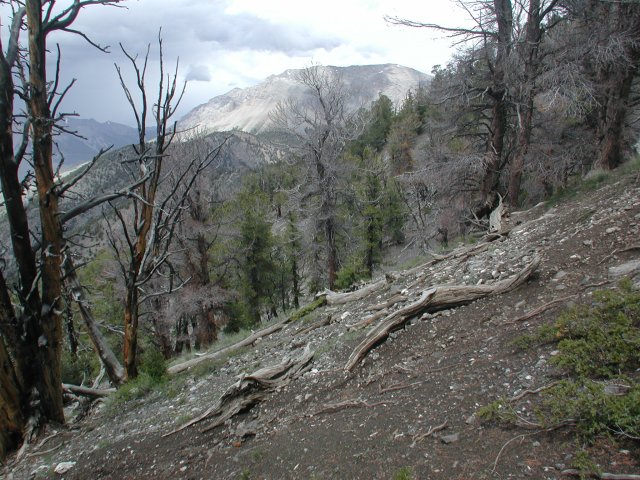
Note that this photo is out of temporal sequence, but gives a
good idea of what the middle part of the ridge is like on the way
up to Borah Peak. Well traveled trail, not terribly steep, unlike
the first parts, which have a 40% grade.
back
|
|
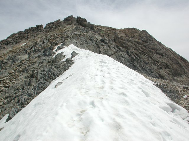
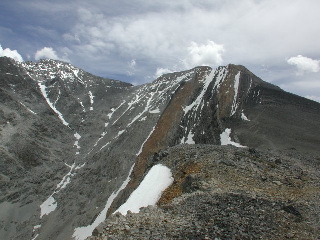
The exposure to both sides of this little patch of snow was
a bit spooky. 60° snow a couple of thousand feet down to the
left, maybe 20 feet of snow down to a cliff on the right. People
who would be up there a week or so later had a much easier time
after this melted out.
back
|
|
No summit photos this time; this is as high as we got, just
below the start of Chicken-Out Ridge.
back
|
|
No summit photos this time; this is as high as we got, just
below the start of Chicken-Out Ridge.
back
|
|
With cumulus building this high and this fast, it was
definitely time for discretion to be the better part of
valour, so we discreetly turned around and headed down.
back
|
|
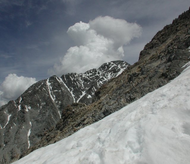
The first large snow chute on the right end of the ridge
is the runout from the snow bridge we crossed. The main snow
bridge is the one in the right center of the shot, just under
the puff of clouds. That one obviously also has significant
exposure.
back
|
|
Looking back down the trail, you can see how it skirts
the ridge.
back
|
|
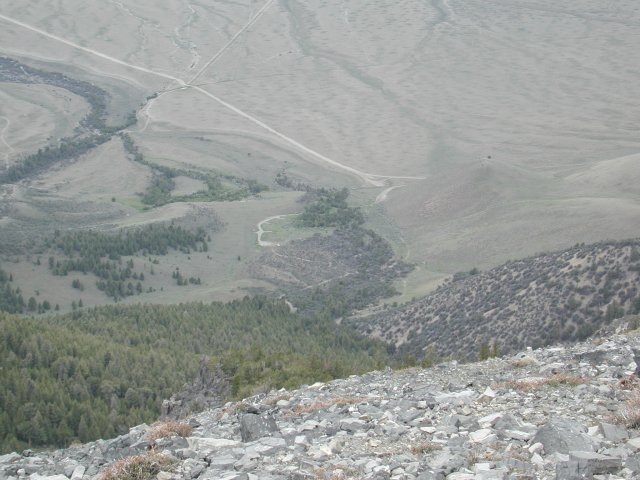
Tantalizingly close, but even though you can see the car
(the white speck right in the center of this shot, at the
right end of the wide spot where the road ends), you have the
hardest hiking of the route as you go back down that
miserable 40% grade.
back
|
|
As you get back to treeline, there are a few camping spots.
The best are right up on the ridge, just as you run out of the
trees and onto the rocks. Next time, we'll probably hike up
that far the evening before and save a couple of hours the next
morning.
back
|
|
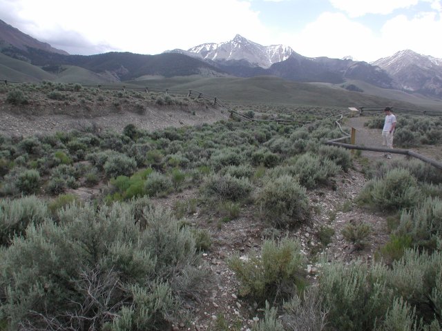
The 1983 earthquake left this scarp that extends for several miles
along the margin of the Lost River valley.
back
|
|
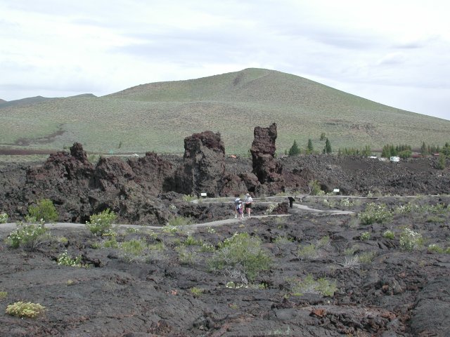
Craters of the Moon National Monument has some truly bizarre
landforms, the result of multiple lava flows over the fairly
recent geologic past. (Recent enough that active flows figure
in the Native American legends of the region.)
back
|
|
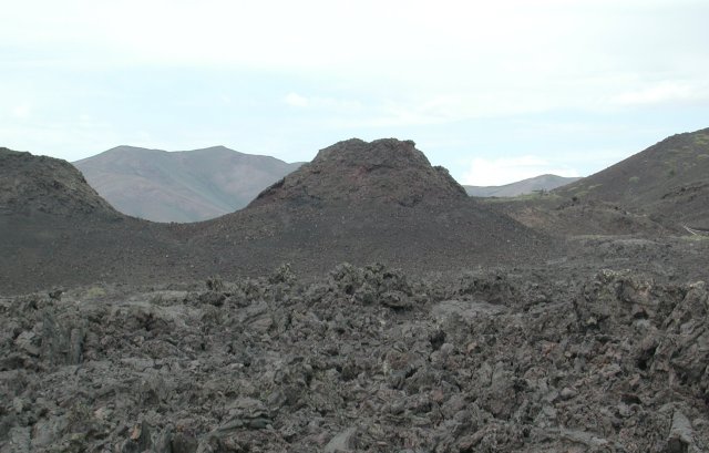
Reportedly, the Polynesian term "aa" means "hurts the feet."
From the surface of this aa lava flow, it is obviously an accurate
description!
back
|
|
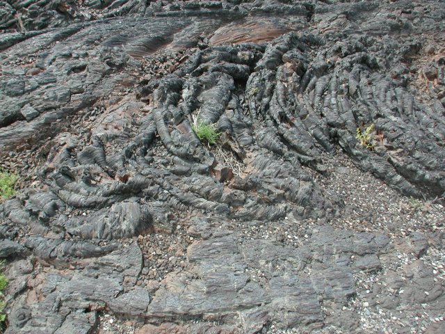
Pahoehoe lava, by contrast, flows at a much higher temperature
and forms smooth to ropey surfaces like this.
back
|
|
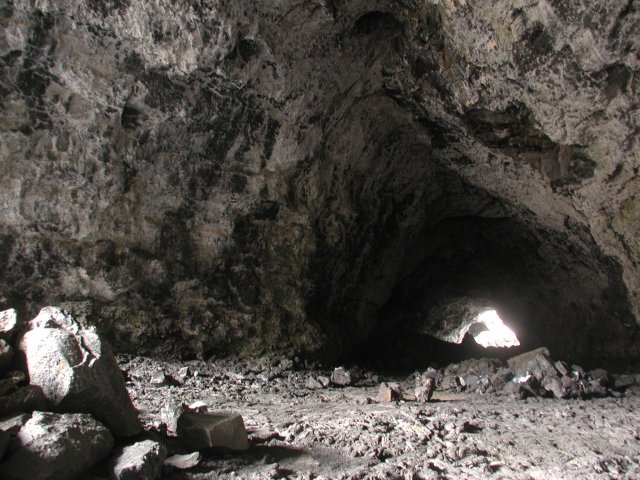
When the lava flow continues long enough, a crust cools while the
flow continues below the crust. If the center is still molten when the
flow stops, it may drain out, leaving a lava tube or cave like this one.
back
|