|
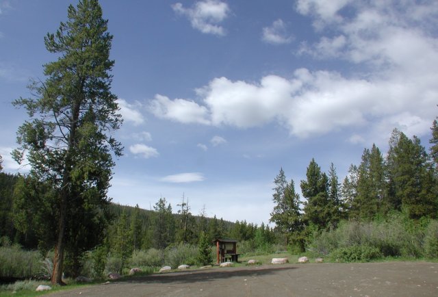
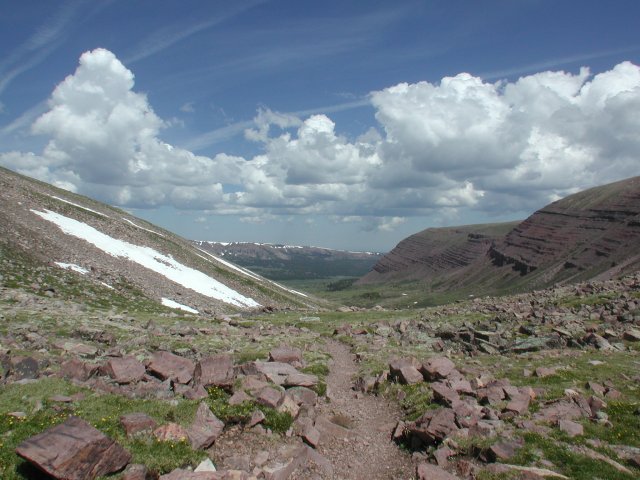
At this point, the day looked promising. However, the clouds
started building shortly thereafter.
back
|
|
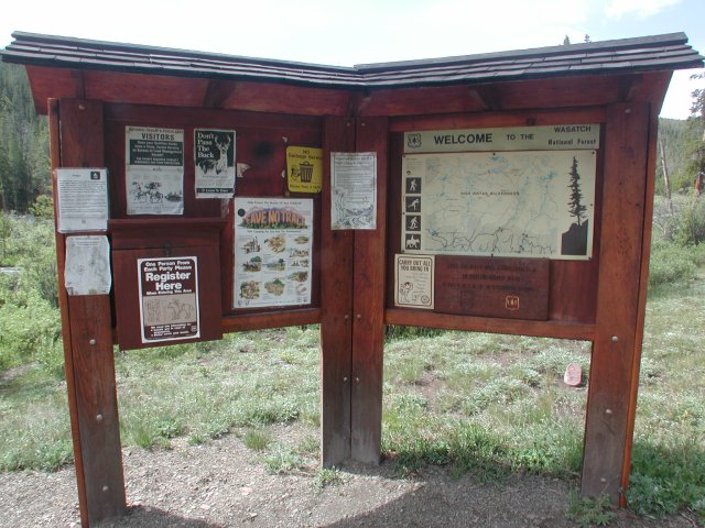
Henrys Fork trailhead sign, map and sign-in book.
back
|
|
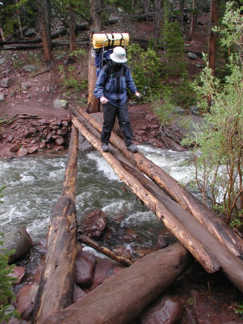
Nathan crossing the log bridge over the Henrys Fork
near Elkhorn Crossing
back
|
|
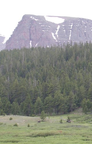
If you look closely, there are three moose in this
photo. Pretty far off, but they kept a wary eye on us
as we hiked by.
back
|
|
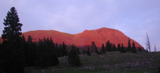
Alpenglow lit the ridge above our campsite at Dollar Lake.
back
|
|
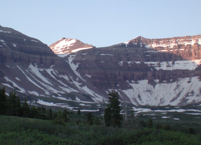
Looking through the notch leading to Anderson Pass, we
could see Kings Peak at sunrise.
back
|
|
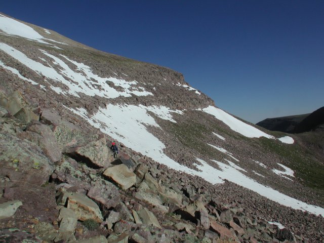
At this point, we were a bit off-route and committed to
a less-than-efficient path to Anderson Pass. This shot is looking
back (north) toward Gunsight Pass. The correct route is up and over
the flat area above the band of short cliffs in the center of this shot.
back
|
|
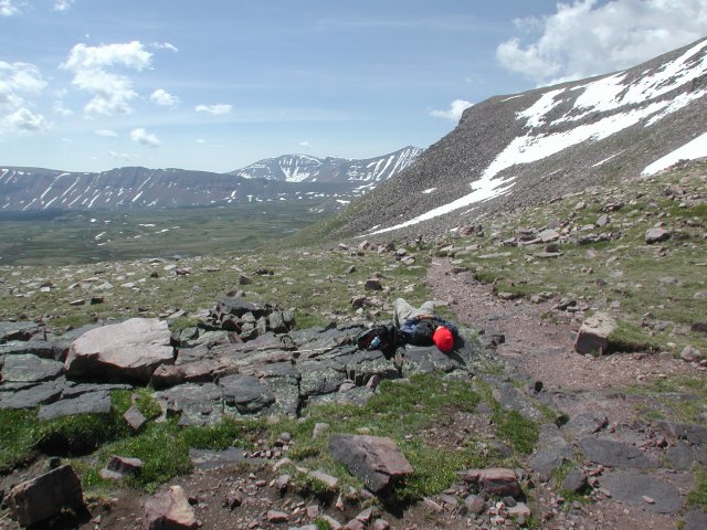
Looking south from Gunsight Pass, we had headed too far south
and tried to stay level with the pass, rather than climbing up and
to the right from the pass.
back
|
|
Looking north from Gunsight Pass, you can see the Henrys
Fork valley up which we had hiked.
back
|
|
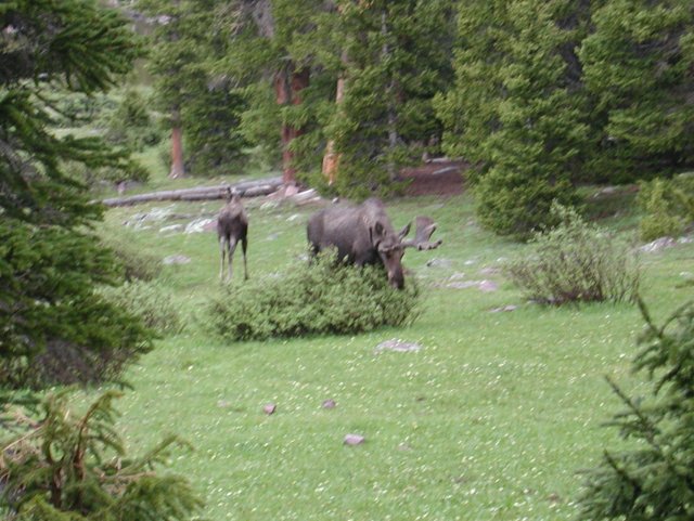
These moose approached quite a bit closer, grazing on the
willows and the meadow grasses.
back
|
|
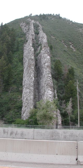
On the way to Logan from Kings Peak, we drove past a number
of volcanic dikes. This double dike is aptly named the Devil's
Slide. Looks painful...
back
|