We chose Glass Mountain as our warmup hike on Owen Maloy's recommendation. A bit over 11,000', it sounded like just the sort of thing for a good day hike to put some altitude under us as we acclimated for the trek up Mt. Whitney.

Trail up Glass Mountain

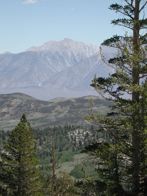
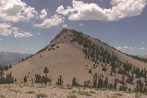
As the proverbial crow flies, Glass Mountain is only 17 or 18 miles east-northeast from Mammoth Lakes. However, road access to the trailhead is two or three times that long, as you wander around the north end of Lake Crowley and then up highway 120 for a short distance to the Forest Service roads which lead to Sawmill Meadows. The trailhead is off the last stub of a road to the right just before you get to the Sawmill Meadows campground, and the first time you drive there, you'll almost certainly have to drive a quarter-mile past and backtrack to find the right road. A copy of the 1:100,000 "Benton Range" 30x60-minute topo map will come in very handy to follow the roads to the trailhead, and then the 1:25,000 7.5-minute "Glass Mountain" quad will show you the details once you get there.

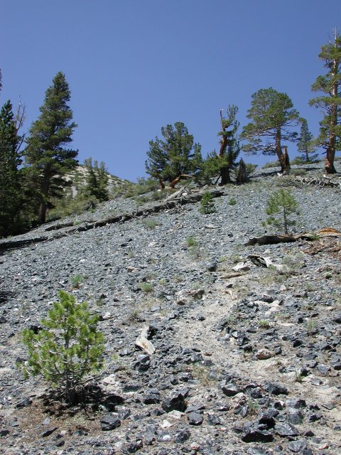
The trail is not maintained, but there is a clear use trail to follow once the jeep trail peters out. Since we got a late start, we opted out of climbing all the way to the summit and scrambled up the pumice and obsidian to the top of a subsidiary peak from which we could see the summit of Glass Mountain.

back

Looking east from the trail up Glass Mountain, you can see across to Boundary Peak and Mount Montgomery. They are both part of the same ridge complex, with Montgomery being the taller by a couple of hundred feet. The California / Nevada state line runs through the saddle between the two, leaving Boundary Peak the highest point in the state of Nevada. The west face is obviously quite steep and intimidating. The usual approaches are either up a long scree climb(?slog?) on the east side of the ridge or from the northeast by following the ridgeline from the saddle just below Kennedy Point and contouring around the several bumps on the ridge between there and Boundary Peak.

back

Boundary Peak and Mount Montgomery

The Summit of Glass Mountain

From our vantage point atop a hummock not far below the summit, we could watch other hikers make their way up the final slope to the summit of Glass Mountain. Running short on both time and energy, we wimped out and called this "good enough" for our warmup hike. Click here for a 360-degree panorama of Glass Mountain. You will need a Java-enabled browser and the patience to download a 400-kbyte file.

back

I suppose someday I'll have to become more of a botanist. I have no idea what these flowers are, but considering they grow in a mixture of pumice and obsidian, they must certainly have impressive root systems to survive in an area where any rain that falls drains quickly away.

back

Hardy Flowers, Indeed!