|
Backbone Mountain, the Maryland High Point |
 |
|
|
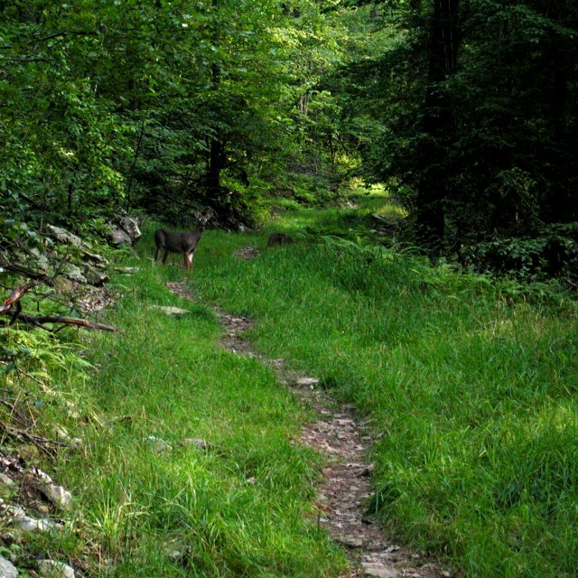
The trail up to the Hoye Crest of Backbone Mountain is well maintained and home to wildlife. This buck, a doe, and two fawns darted off into the woods as we approached. |
|
 |
|
|
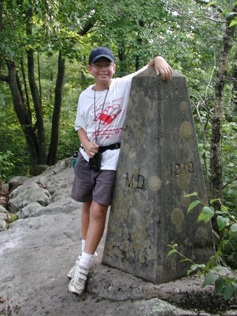
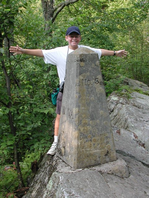
Nathan posed alternately on the Maryland and West Virginia sides of the state line, marked by this stone obelisk only about 100 yards from the Maryland highpoint. The trail divides and gives hikers the option of seeing this marker and scrambling over some rocky outcrops, or taking the "low road" and walking along a smoother trail to the highpoint, proper. |
|
 |
|
 |
|
|
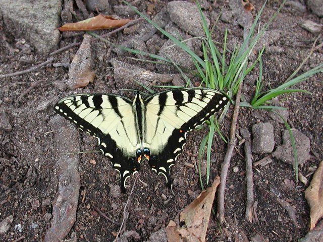
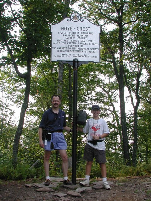
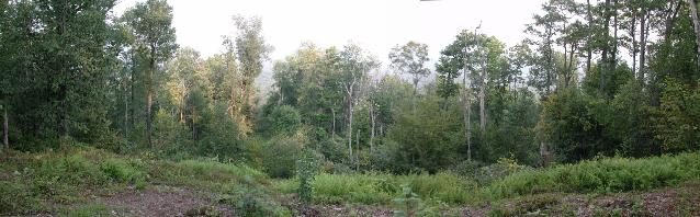
We found this butterfly, fresh out of the cocoon, under the picnic table at the highpoint. After signing the summit log, which is kept in the mailbox on the highpoint marker post, we prevailed upon another highpointer to take our photo. The panoramic photo below links to a VR "movie" of the panorama. It covers only about 120 degrees, the scope of the clearing, but provides more detail than is visible in the single photo. |
 |
|
Controls for the VR movie are: Shift zooms in. Ctrl zooms out. Holding the left mouse button and moving right, left, up, or down will pan the viewing window in that direction. Because of the vagueries of VR movies, the 120 degree panorama is joined into a full cylinder, so you can spin all the way around even though the original image is not a full 360 degrees. The file is about 140k, so base your interest on your patience downloading files of that size. |
|
 |
|