|
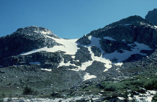
The lower gully, well to the south of Mt. Ritter, is easily spotted
by looking for that granite dome to the left of the gully, at the left
side of this photo. When using the gully as an approach, the trick is
not to exit the gully at the first tempting spot, which is marked
by a tree on the rock on the right-hand side of the gully in this photo.
Doing so dumps you into a series of rather nasty 3rd and 4th class steps
and low cliffs. Going 100 yards higher and behind the taller ridge to
the right of the gully leaves you with an easy scramble over flat to
gently-sloping rock to the snow bowl adjacent to the SE glacier.
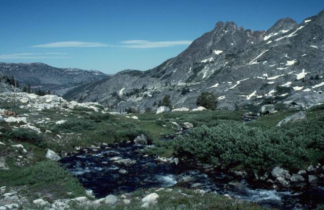
In this average snow year, there is a small stream flowing out
of the snow in the gully, forming a series of splashing waterfalls as
it courses down the rocks. This wet and slick route is easily
avoided by going a bit further to the left and walking up the
grassy slopes and over the low rocky ridge, picking up the snow in
the gully above where the stream begins.
|